
LocaleScan
Detailed neighborhood analysis for real estate.
At a glance
3.7 out of 5
Scored by Alex after real useOur verdict
It offers detailed neighborhood insights but is limited in depth and lacks clear pricing details.
✓What it does well
✕Where it falls short
Key features
Questions about LocaleScan
What does LocaleScan do?
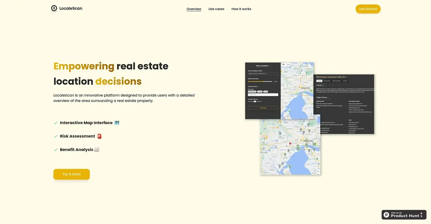
LocaleScan provides detailed neighborhood analysis for real estate. An interactive map with distinct icons shows local features, while risk assessments cover crime, environmental hazards and economic stability. It also lists nearby amenities such as schools and shopping centers.
Who is LocaleScan for?
Toolio lists LocaleScan as best for real estate agents, home buyers and investors who want to understand an area. It is not aimed at developers with extensive geographic data needs, since its scope and data depth are limited.
What data does LocaleScan show about a neighborhood?
LocaleScan reports current statistics on various crime types, evaluates unemployment rates and economic growth, and gives noise and pollution level details. The reviewer notes that some data points may be less detailed or up to date than expected.
How large an area can LocaleScan cover?
LocaleScan allows up to a 5-mile scan radius. The reviewer counts this among its main shortcomings, since it limits how far an analysis can reach. Within that area, the interactive map zooms in to show local features clearly.
How much does LocaleScan cost?
LocaleScan starts at $0, and no paid plan was found on the vendor's site in September 2026. The reviewer notes that the homepage does not give clear pricing. LocaleScan holds a Toolio score of 3.7 out of 5, given by Alex on 5 Oct 2026.